A misleading interpretation of a word describing the surface of Mars led to a century of deepening belief that intelligent life existed on the planet.
“So many Suns, so many Earths, and every one of them stocked with so many Herbs, Trees and Animals…even the little Gentlemen around Jupiter and Saturn…”
Cosmotheoros. DutCh mathematician, physicist, astronomer, engineer Christiaan Huygens
The first big map?
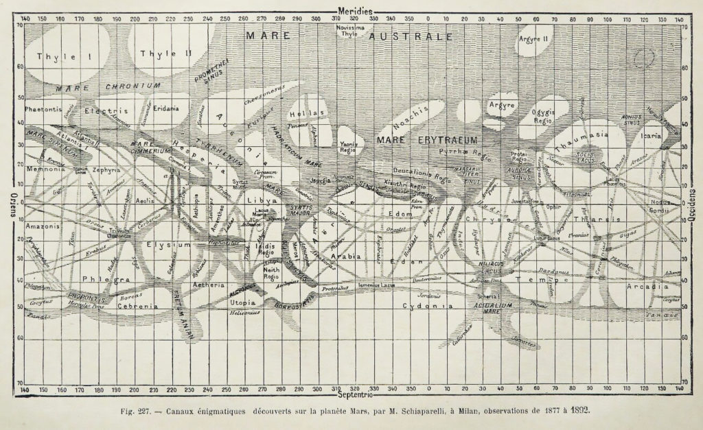
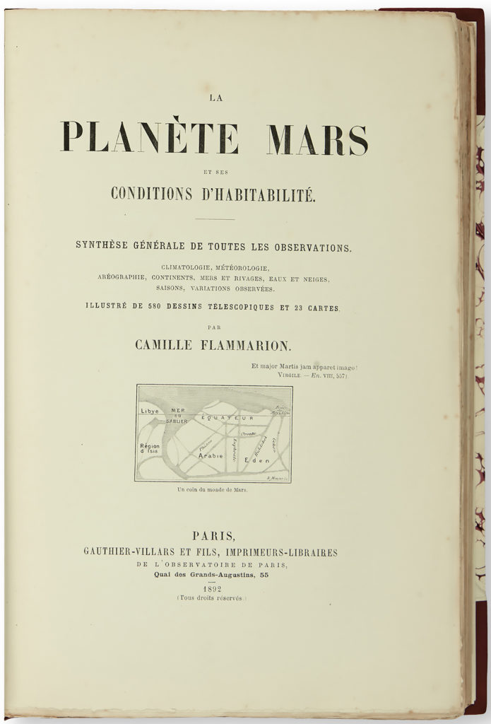
The Italian astronomer Giovanni Virginio Schiaparelli (1835-1910) created detailed maps of Mars based on his observations achieved at the Brera Observatory in Milan. The French astronomer Camille Flammarion published it in 1892 in La Planète Mars.

Schiaparelli named the markings based on mythical and historical places here on Earth, like Arabia, Eden and Elysium. The names Schiapparelli gave locations on Mars largely survive today.
Schiapparelli used the term canali, to describe the long thin dark lines that crisscrossed the planet’s northern hemisphere. In Italian, the word “canali” is commonly used to mean natural channels. He considered all the features on Mars to be natural formations. He wrote in 1893:
“It is not necessary to suppose them the work of intelligent beings, and, notwithstanding the almost geometric appearance of all of their system, we are now inclined to believe them to be produced by the evolution of the planet, just as on earth we have the English Channel and the channel of Mozambique.”
But with time, the linear features on his maps became much straighter and more prominent. Canali was translated into English as canals, which led to the idea that the canali could be engineered waterways struck a chord with some observers.


American astronomer Percival Lowell embraced and popularized the idea that the straight lines on Schiaparelli’s maps were water conduits built by Martians.
In 1893, Percival Lowell had no trouble seeing a network of canals on Mars. He began mapping and naming these lines. This project occupied him until his death in 1916.
In a lecture to the Boston Scientific Society in 1894, Lowell said,
“The most self-evident explanation from the markings themselves is probably the true one; namely, that in them we are looking upon the result of the work of intelligent beings.”
Lowell published the map above in 1895 in his book, Mars, along with the names of 184 canals, 64 oases, and 40 regions (indicated by numbers on the map).
He continued to write popular science books, culminating with Mars, the Abode of Life in 1908. Canal hypothesis began facing increasing criticism as scientists learned more about Mars; they demonstrated that the lines could be merely the result of an optical illusion.
However Lowell ideas persisted in the popular imagination for decades and inspired countless works of science fiction, notably Orson Welles’ 1938 radio broadcast of War of the Worlds. The idea of martians habitant was installed and continued along time stimulated by this observations and maps.
The canals hung around; including in the 1962 map of Mars used by the U.S. Air Force in planning for the Mars Mariner missions. !!!

The original map has been processed to remove grids and names and reprojected into a simple cylindrical map projection, making it easier to compare to modern maps. The dark albedo markings on this map are linked by straight lines, the famous “canals,” the idea of which had generally been abandoned by most planetary astronomers by 1962.
This story was taken for the generation of the mural institutional-like map. A 170 x 106 cm printed work on paper part of the Ars on Mars collection.

The artwork was generated using Mars Orbiter Laser Altimeter MOLA Global Color Shaded Relief
Mars MGS MOLA Global Color Shaded Relief 463m v1
The piece shows altitude scales vintage colored-like as usual in school mural maps and of course… It has drawn the Schiaparelli’s canali.